|
The BCRC maintains a full-service Geographic Information System (GIS) that enables analysis of geographic data and production of high-quality maps.
BCRC has served as the regional GIS service center for the Bennington Region since 1990, providing data and mapping services to its member municipalities and non-profit partners. GIS services support projects that involve transportation planning, emergency management, land use planning, natural resource management, community and economic development, and numerous special applications by towns and villages. The Vermont Center for Geographic Information (VCGI) manages geographic data for the State of Vermont. Data can be downloaded from their Open Geodata Portal. |
GIS is a method of managing, analyzing, and displaying geographic information on a computer to produce maps. This data is spatially referenced to the earth so it can be layers with other datasets to create distinct map layers and data tables. |
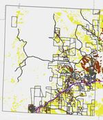
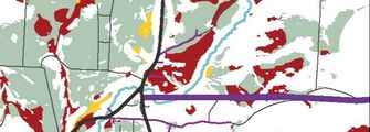
Examples of BCRC GIS projects
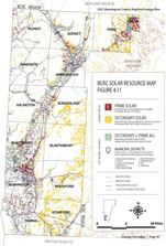
Solar Energy
|
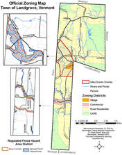
Zoning Map
|
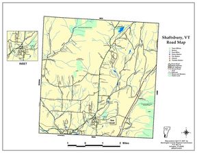
Roads Map
|
Vermont Online Mapping

|
ANR Natural Resources Atlas
|
|

|
ACCD Planning Atlas
|
|

BCRC Online Mapping
BCRC is developing the ability to provide digital and interactive map services to member towns. View an example of an interactive online map application below and follow the instructions to see how this can work. For more information on BCRC online mapping services, contact Catherine Bryars ([email protected]) (phone ex.310)